Balancing Maritime Logistics with Ecological Preservation
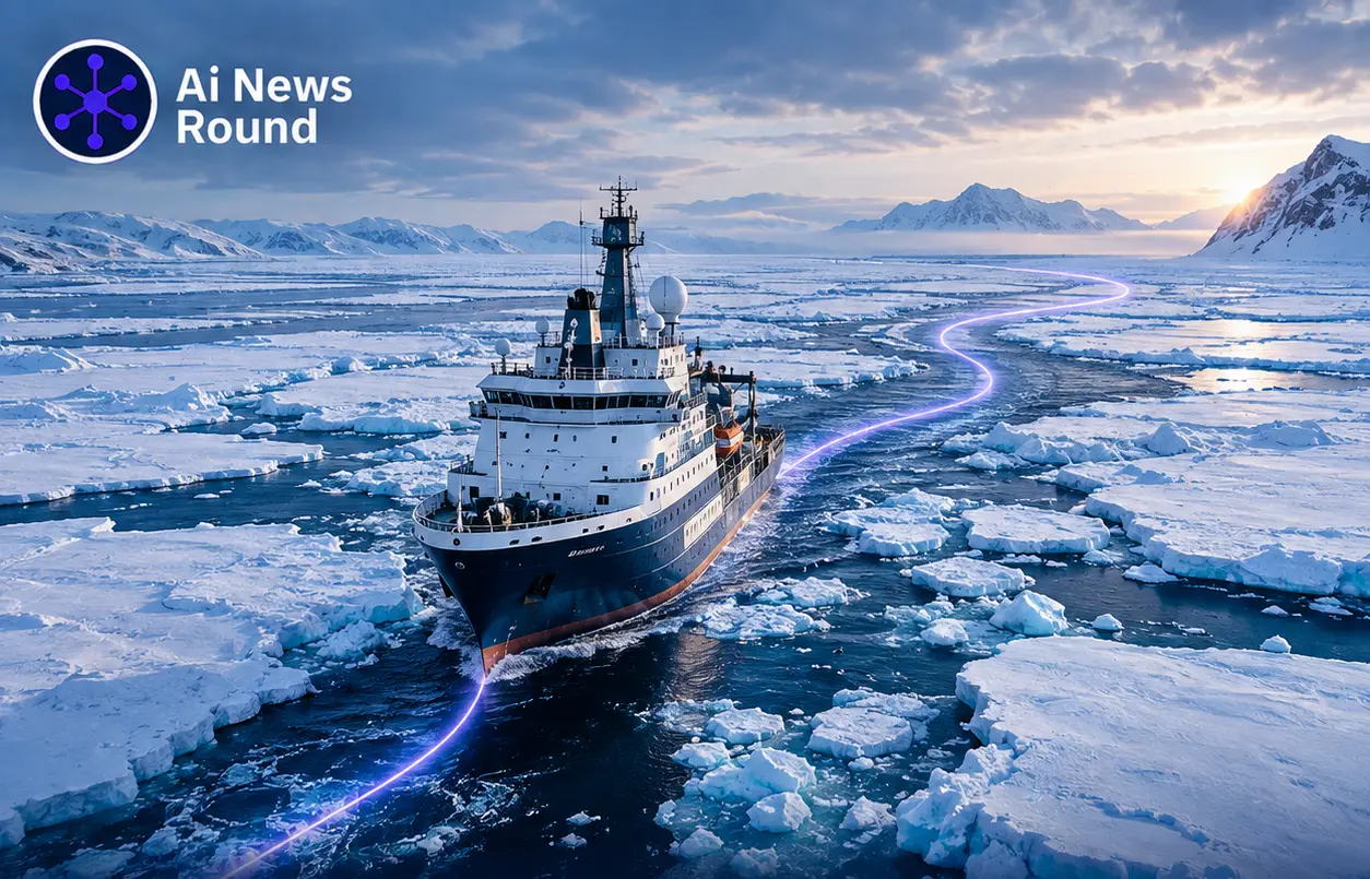
As changing climate patterns alter Arctic sea ice coverage, seasonal maritime accessibility across northern shipping corridors continues to expand. However, navigating these waters involves complex trade offs. Fast, fuel efficient transit routes frequently intersect with hazardous ice conditions, sensitive ecological biomes, and coastal indigenous community zones. Traditional routing systems prioritize transit time and fuel consumption, often omitting environmental exposure parameters entirely.
To address this gap, researchers have developed a human in the loop multi agent GeoAI framework designed specifically for Arctic eco navigation. According to a technical study published on arXiv, the system coordinates several specialized autonomous agents to process real time spatial datasets and generate optimal transit corridors that explicitly minimize environmental disruption.
Architecture of the Multi Agent System
The GeoAI framework replaces single model routing algorithms with a multi agent architecture where specialized AI units manage distinct components of the navigation pipeline:
Geospatial Data Acquisition Agent: Continuously aggregates and preprocesses real time satellite imagery, sea ice density maps, and dynamic meteorological observations.
Multi Objective Route Generation Agent: Calculates transit trajectories using multi objective optimization algorithms that evaluate operational safety, fuel burn, and environmental exposure concurrently.
Skyline Based Decision Support Agent: Filters generated trajectories into a Pareto optimal skyline, presenting human navigators with transparent trade offs between travel efficiency, vessel risk, and ecological impact.
Protecting Critical Habitats and Communities
The defining operational feature of the GeoAI agent is its inclusion of ecological and community criteria directly into route formulation. The system tracks proximity and potential exposure to protected regions, including Essential Fish Habitat (EFH) zones and seal critical habitats.
By accounting for marine mammal breeding grounds, coastal hunting territories, and fragile marine ecosystems, the agent dynamically routes vessels away from high risk zones without requiring blanket channel closures. This provides vessel operators with actionable decision support while maintaining verifiable environmental compliance. Similar multi agent system architectures were explored in our analysis of Perplexity and autonomous system management.
What It Means for You
For maritime logistics directors, system architects, and geospatial developers, this multi agent approach demonstrates how GeoAI can automate multi criteria decision making in high risk environments. Implementing skyline based decision support allows human operators to retain final navigational control while leveraging autonomous models to process complex environmental constraints.