Backcountry Navigation Error and Helicopter Extraction
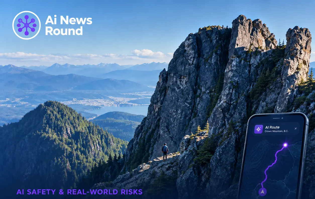
Search and rescue personnel in British Columbia extracted a 16-year-old hiker from a steep headwall near Crown Mountain after an artificial intelligence model directed the solo traveler off established hiking trails into technical climbing terrain. The teenager used Anthropic's Claude AI to generate a route from the top of Grouse Mountain toward Crown Mountain. Instead of directing the hiker along marked recreational trails, the model's generated itinerary guided him down an unmaintained gully that terminated at the base of the "Widowmaker Arete"—a dangerous rock face requiring specialized alpine climbing equipment.
Finding himself trapped on a narrow cliff face roughly 4,000 feet above sea level with no safe way to ascend or retreat, the teenager contacted local emergency services. North Shore Rescue (NSR) dispatched search technicians by air to locate the lost hiker. Helicopter crews deployed two rescue specialists via a long-line hoist system to stabilize the teen before airlifting him to the team's operational base near the Cleveland Dam.
Hallucination Risks in Spatial and Geospatial Tasks
Search managers noted that the incident underscores severe physical risks stemming from model hallucinations when generative AI tools are used for outdoor route planning. Large language models do not maintain real-time spatial awareness, topographic verification mechanisms, or ground-truth knowledge of outdoor environments. When asked to plan complex outdoor itineraries, generative algorithms can synthesize plausible-sounding directional steps by combining fragments of online climbing logs, trail guides, and general geographic names without evaluating technical difficulty or physical safety boundaries.
In this instance, the AI appears to have conflated a standard hiking trail with a technical mountaineering scramble. NSR officials emphasized that a single step off the ledge could have resulted in catastrophic injury or death. Search and rescue organizations are urging the public to rely strictly on official topographic maps, satellite navigation tools, and verified regional trail databases rather than general-purpose conversational agents.
The incident arrives amidst broader technical debates regarding automated agent safety, spatial reasoning limits, and real-world deployment risks. For further coverage on system reliability and model safety guardrails, explore our report on MLLMs Failing to Refuse Unsafe Tasks and read our dedicated updates under AI Policy & Regulation.